Messara Plain, Ayiofarango Gorge, Cape Lithino
Messara Plain
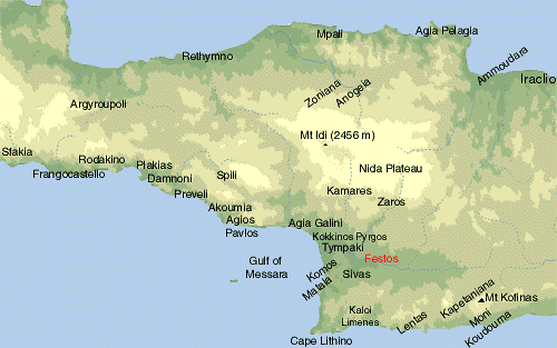
The plain of Messara is a fertile area in Iraclion prefecture. To the north is Mt Idi, to the south Asterousia Mountains, to the east Dikti Mountains and to the west the gulf of Messara (Libyan Sea). Major towns are Moires and Tymbaki. This area was always significant due to its agricultural production: olive-oil and vegetables. Here is the Minoan Palace of Festos.
There is no special interest in the villages and towns of Messara. However there are some quite interesting excursion and walking propositions:
Matala, was a famous place in the 60’s as hippies were gathering here from all over the world. They used to live in the caves by the beach of the village.
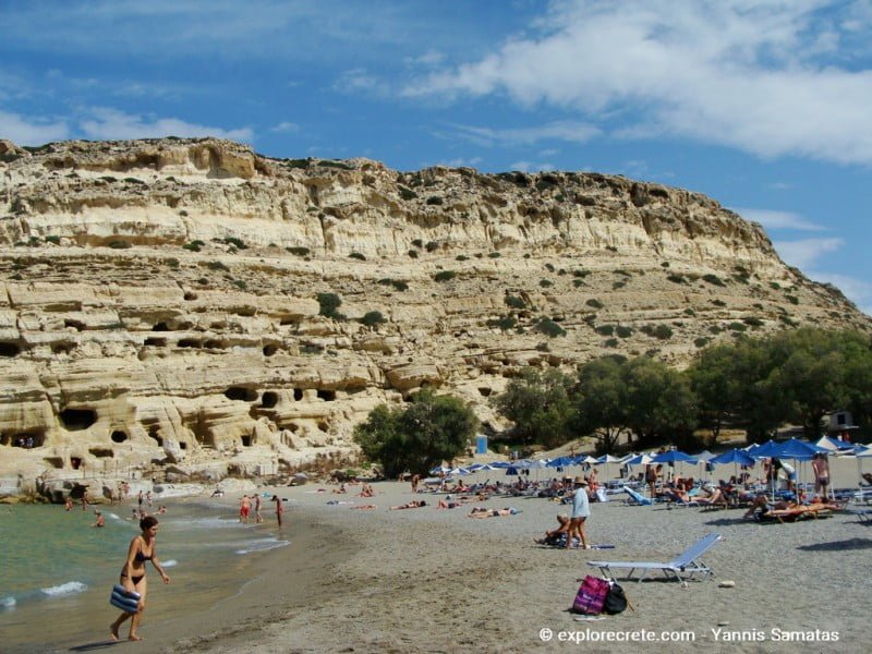
If you have the time take a look at the village. In Matala there is a local office of the Sea turtle Protection Society of Greece. Ask them to inform you about their work there; I’m sure you’ll find it quite interesting.
Read more about Matala
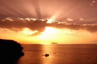
If you are close to Matala late in the afternoon, then don’t miss the opportunity to admire the spectacular sunset as well as a panoramic view of kommos beach and Messara gulf from Taverna Panorama; the road leading there is a dirt track on your right as you approach Matala, a little after Pitsidia.
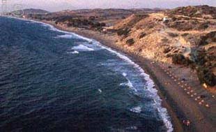
Kommos, is a great beach. You can go there from Pitsidia village.
Sivas is a traditional village, quite interesting for a visit. Near to Sivas, there is an old monastery, Moni Odigitrias. From there you may drive on a dirt road to the south and do some hiking up to Cape Lithinon.
You must follow the signs leading to Vathi; when you reach an intersection where there is a sign showing to Martsalo to your left and Vathi to your right you may leave the car there and walk south-west up to the visible hill (Kefali, 391m) or keep driving to Martsalo direction and take the next turn right.
Walk on the dirt road descending south and then ascending west. After 15 minutes of ascending on the road, leave it and turn left heading south on a just visible path. After 20-30 minutes you will see the ruins of a german military establishment of document War II. Carefully approach to the edge of the cliff; you are now standing 391m above sea-level and the view is breath-taking.
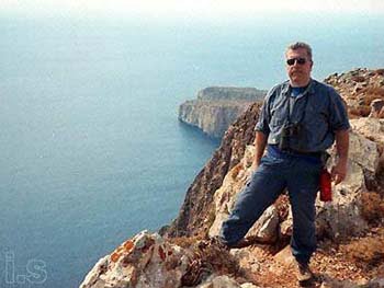
This is the most southern point in Crete; to your west is Messara gulf and Paximadia Islands, to your left is Ayiofarango (right below), Kaloi Limenes, Lendas and Mt Kofinas (1280m) of the Asterousia range and to your south is the Libyan Sea, 250 km to Africa.
If you want to go to Vathy then go through the gate on your right as you are going to Lithino. Vathy is a very closed bay, so closed that you think it’s a lake, at the end of a very impressive short gorge. The beach is very nice but there are ugly buildings all around; this is the bad face of “development”. Take a close look at the statues at the small taverna; they are great.
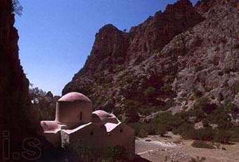
Martsalo is a cave where an icon of Virgin Mary was found by a shepherd. After that the cave was used as a church. There are many more caves in the are around where erimites lived. The cave is located inside a small gorge with a few palm trees; it is leading to the sea.
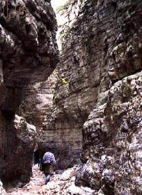
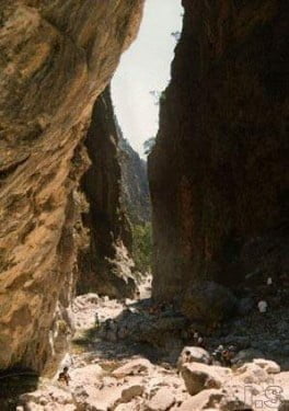
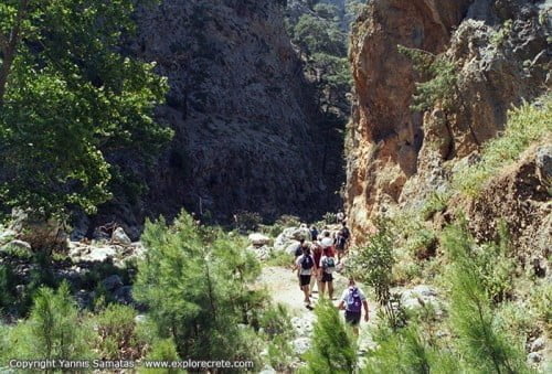
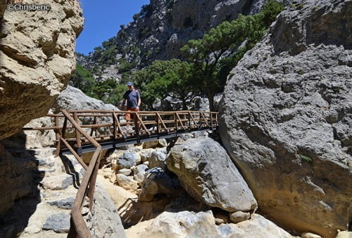
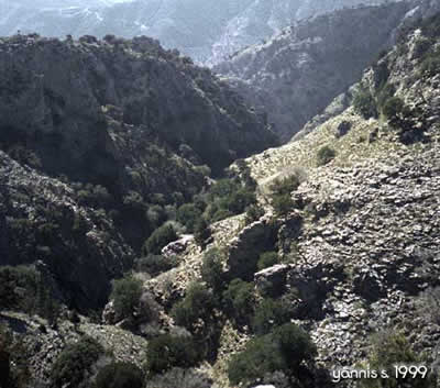
Ayiofarango or Agiofarango (the gorge of the Saints). It was called like that due to the great number (about 300) of erimites that lived in the numerous caves. It is said that those people lived all alone, not coming in contact to each other. There was a gathering every year in a big cave where everyone was sitting on his own rock; if one of these rocks was empty, then the rest of them knew that that man was dead in the year before.
Today there is a church inside the gorge which ends to a beautiful beach. To go there you must follow the dirt road leading from Odigitria to Kaloi Limenes; 2-3 km past the monastery you must turn right, leave your car there and walk down to the gorge amd the beach. As long as you locate this intersection, the rest is easy.
Read also: a 1-day boat trip to Ayiofarango
© explorecrete.com All Rights Reserved. Reproduction or copying without permission is prohibited.