Map of Paleochora
The map of Paleochora shows the streets of the town and the site of Castel Selino to the south.
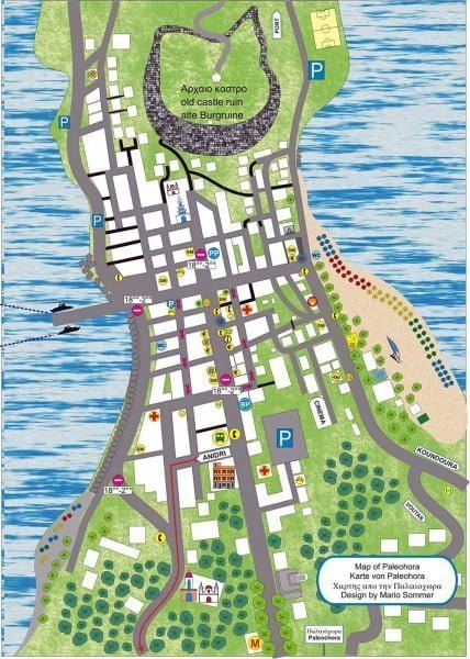
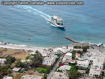
To the east you can see the pebble beach, the road with the tavernas and the moorage for the boats to and from Sougia, Agia Roumeli, Hora Sfakion and Gavdos.
The large sandy beach of Paleochora is to the west, on the right-hand side of the map.
The map is particularly useful because it shows where to park easily, as there is little or no space in the narrow streets of the town.
Maps of Crete, free maps of the island and its main cities
© explorecrete.com All Rights Reserved. Reproduction or copying without permission is prohibited.