Skip to content
Explore Crete
Expand
East Crete:
Heraklion City
Heraklion Region
Lassithi Region
West Crete:
Chania City
Chania Region
Rethymnon City
Rethymnon Region
Beach Guide
Maps
Activities
Expand
Hiking
Water Sports
Walk Crete in 50 days
Culture
Expand
Cretan Music
Tastes of Crete
Traditions
Learn Greek
History
Expand
History of Crete
Archaeology
Museums
Mythology
Nature
Pictures
Various
Expand
Information
My Crete
Books
Videos
Contact Us
More results...
Generic selectors
Exact matches only
Search in title
Search in content
Post Type Selectors
Toggle Menu
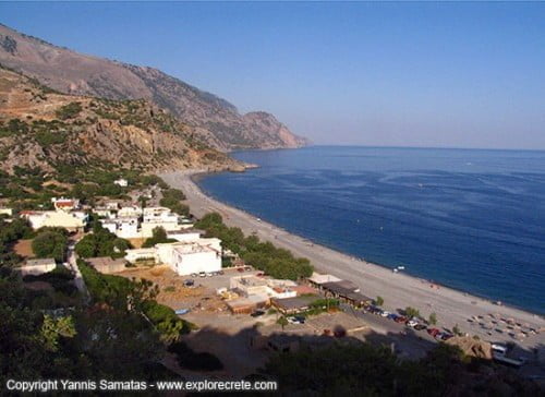
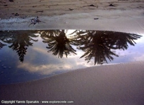
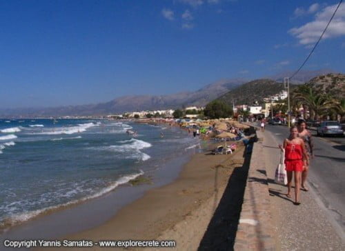
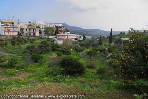
Crete Pictures
Crete Pictures
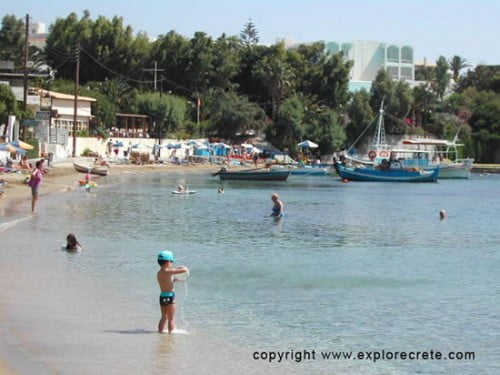
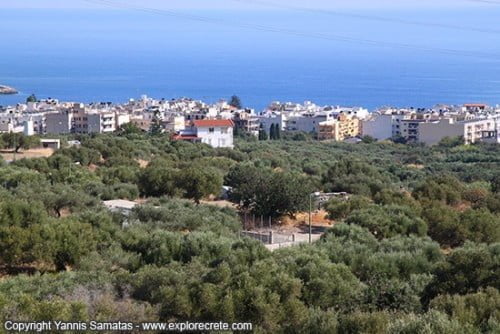
Agia Pelagia Pictures
Crete Pictures
|
Chania Region
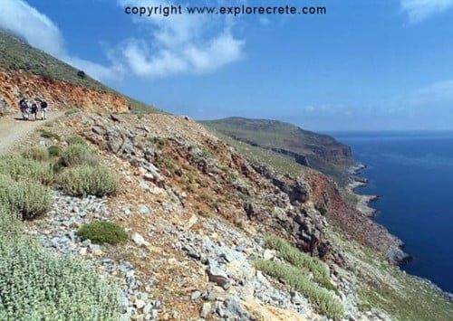
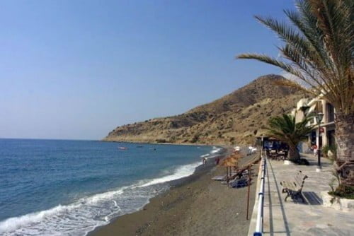
Agia Roumeli Pictures
Crete Pictures
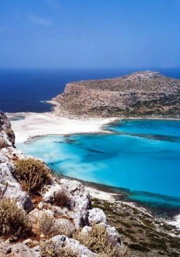
Balos & Gramvoussa Pictures
Crete Pictures
|
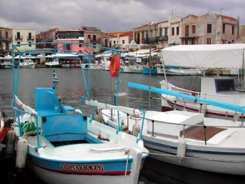
Chania City
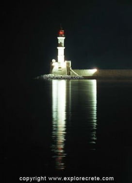
Chania Pictures
Crete Pictures
The Old Town of Chania at night
Crete Pictures
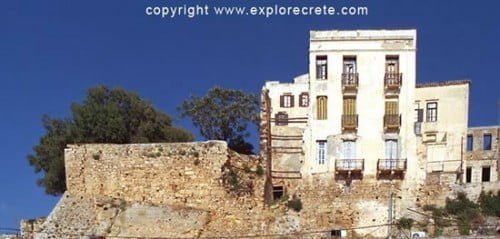
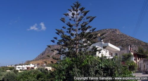
Chora Sfakion Pictures
Crete Pictures
|
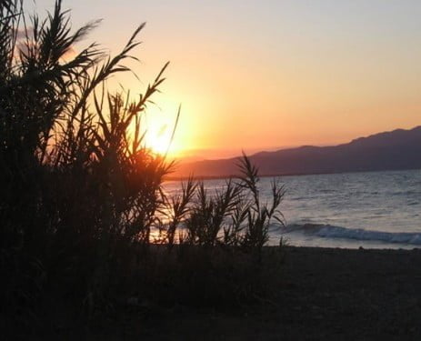
Beach Guide
|
Chania Region
|
Featured
Elafonissi Beach Pictures and Information
Crete Pictures
Frangokastello pictures
Crete Pictures
Gortys Photos
Crete Pictures
Gouves & Pano Gouves pictures
Crete Pictures
Hersonissos Pictures Nightlife
Crete Pictures
Hersonissos Star Beach Pictures
Crete Pictures
Pictures of Koustogerako
Crete Pictures
Koutouloufari Pictures
Crete Pictures
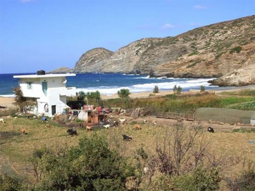
Myrtos Pictures
Crete Pictures
Old Hersonissos pictures
Crete Pictures
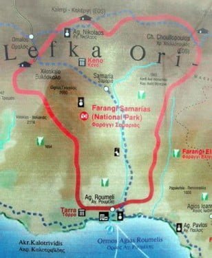
Samaria Gorge Pictures
Crete Pictures
Sougia Pictures
Crete Pictures
Stalis Pictures
Crete Pictures
Stalis Beach pictures
Hiking
|
Crete Pictures
Photos of Zakros Gorge
Crete Pictures
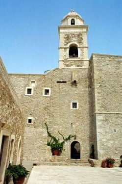
Pictures of Monasteries in Crete
Crete Pictures
Pictures of Koudoumas Monastery
Crete Pictures
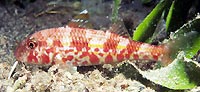
Sea Life in Crete
Crete Pictures
|
Nature
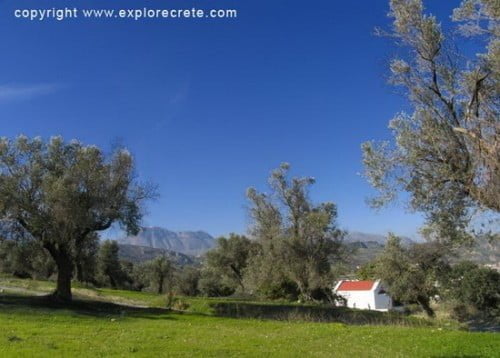
Crete in Autumn
Crete Pictures
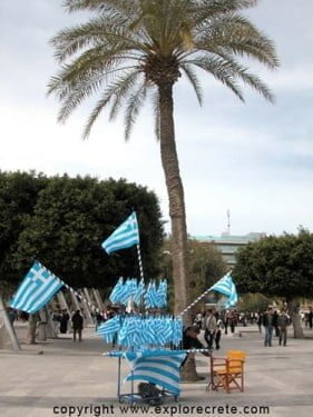
Independence Day Parade in Heraklion
Crete Pictures
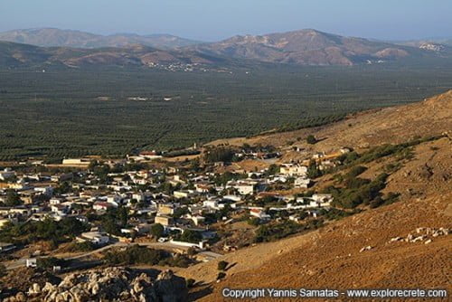
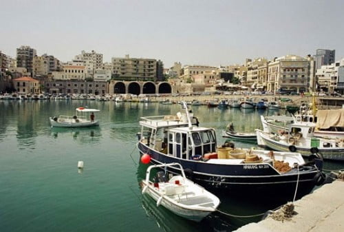
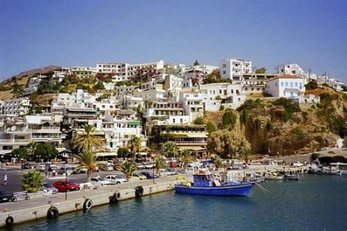
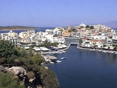
Pictures of Towns in Crete
Crete Pictures
Pictures of Crete by Alexander
Crete Pictures
Crete pictures by Bernie
Crete Pictures
Crete Pictures by Bo Transbol
Crete Pictures
Crete by Caroline Scott
Crete Pictures
Crete Pictures by David
Crete Pictures
Crete Pictures by G. Jonge
Crete Pictures
Crete by Janusz & Barbara Brejwo
Crete Pictures
Crete by Kickie Saevenskog
Crete Pictures
Crete by Basia & Krzysztof Kedzierski
Crete Pictures
Crete Pictures by Marianna Diankova
Crete Pictures
Crete Pictures by Matej Novak
Crete Pictures
Crete Pictures by Lili Segal
Crete Pictures
Crete Beaches by Oleg
Crete Pictures
Crete Pictures by Paul Stafaniak
Crete Pictures
Crete Pictures by Pawel Stefaniak
Crete Pictures
Crete Pictures by Vassilis & Alexandra
Scroll to top
Scroll to top
More results...
Generic selectors
Exact matches only
Search in title
Search in content
Post Type Selectors
Explore Crete
Toggle child menu
Expand
East Crete:
Heraklion City
Heraklion Region
Lassithi Region
West Crete:
Chania City
Chania Region
Rethymnon City
Rethymnon Region
Beach Guide
Maps
Activities
Toggle child menu
Expand
Hiking
Water Sports
Walk Crete in 50 days
Culture
Toggle child menu
Expand
Cretan Music
Tastes of Crete
Traditions
Learn Greek
History
Toggle child menu
Expand
History of Crete
Archaeology
Museums
Mythology
Nature
Pictures
Various
Toggle child menu
Expand
Information
My Crete
Books
Videos
Contact Us